Locations
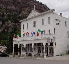
Historic Western Hotel


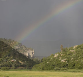
Pagosa Springs Area Chamber of Commerce
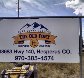
Old Fort at Hesperus


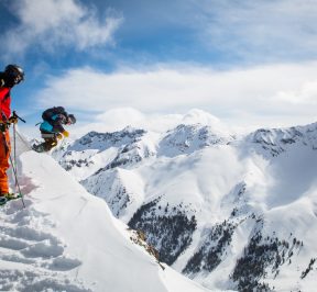
Silverton Mountain

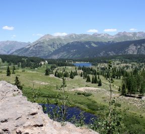
Molas Pass

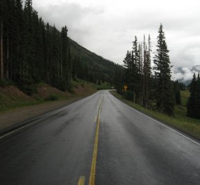
Coal Bank Pass

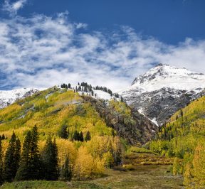
Red Mountain Pass

Ridgway CO

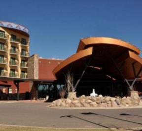
Ute Mountain Ute Indian Tribe

Mancos, CO

Dolores

Southern Ute Indian Tribe

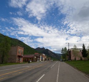
Rico, CO

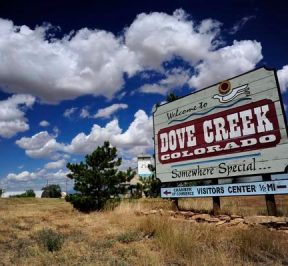
Dove Creek

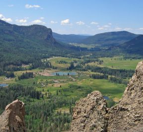
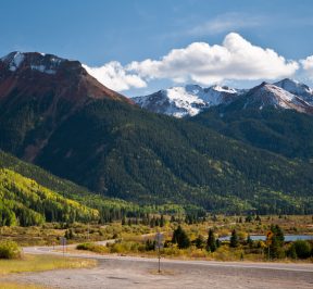
Wolf Creek Pass


Cortez, Colorado

Ignacio, Colorado